Log in
All resources
Create a design
41,226 Free Images of 1899 Maps
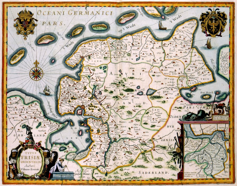
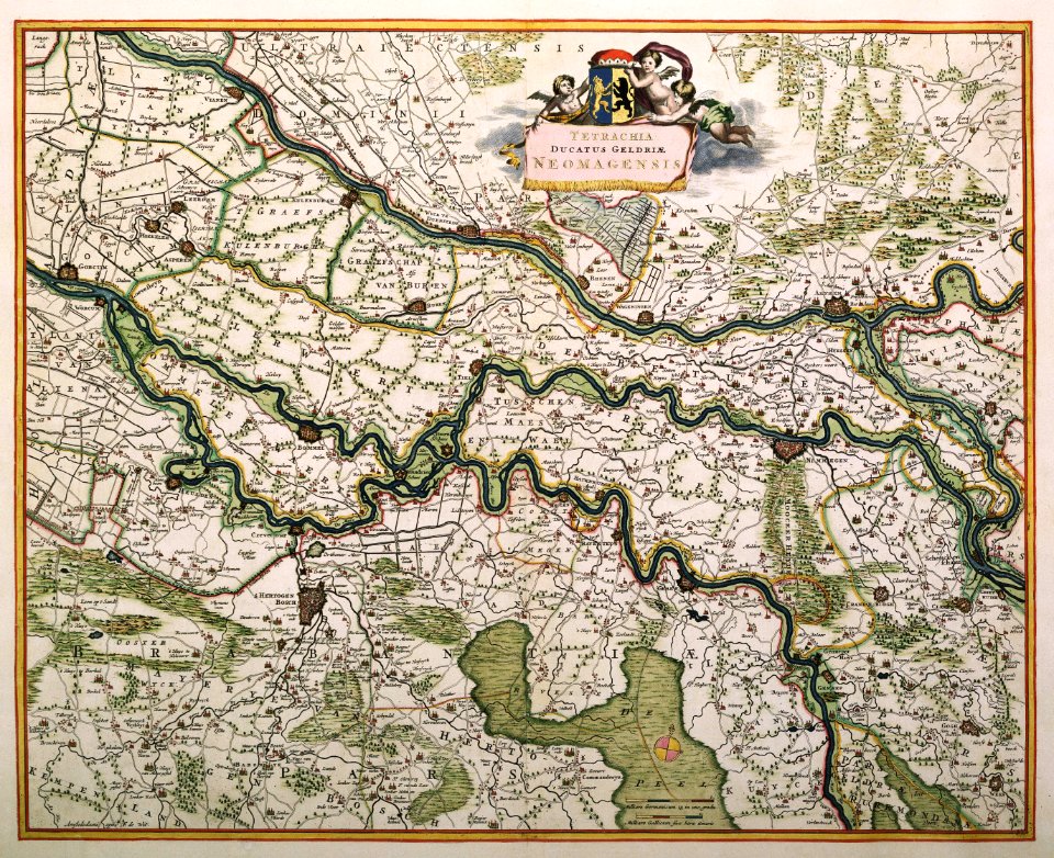
maps made in the 17th century
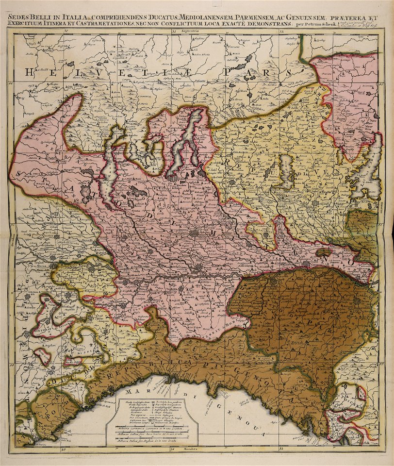
maps by pieter schenk (i)
gerard valck
atlantis magni tomus quartus (biblioteca comunale di trento)
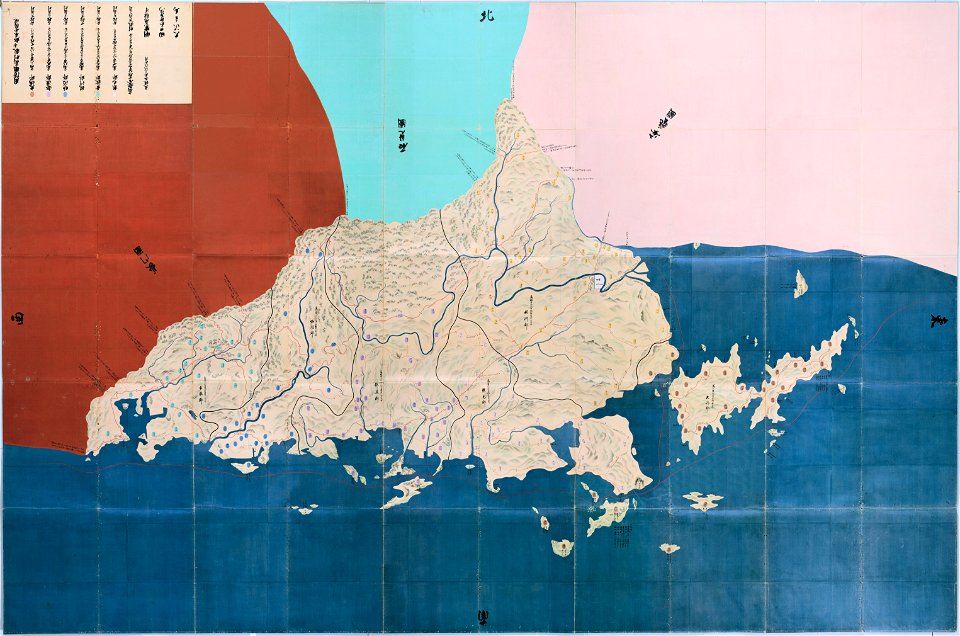
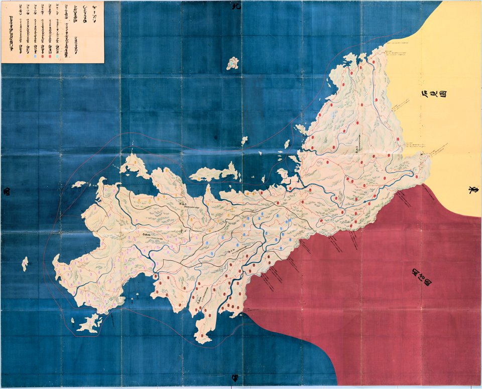
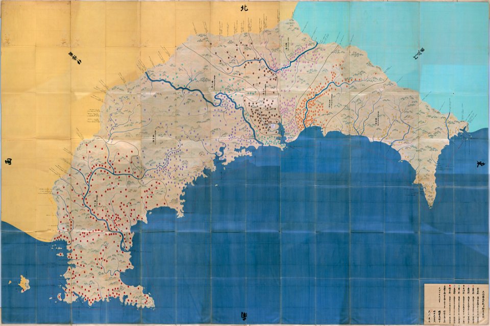
maps in the national archives of japan
important cultural property of japan in tokyo
maps made in the 18th century
atlantis magni tomus tertius (biblioteca comunale di trento)
atlantis magni tomus quintus (biblioteca comunale di trento)
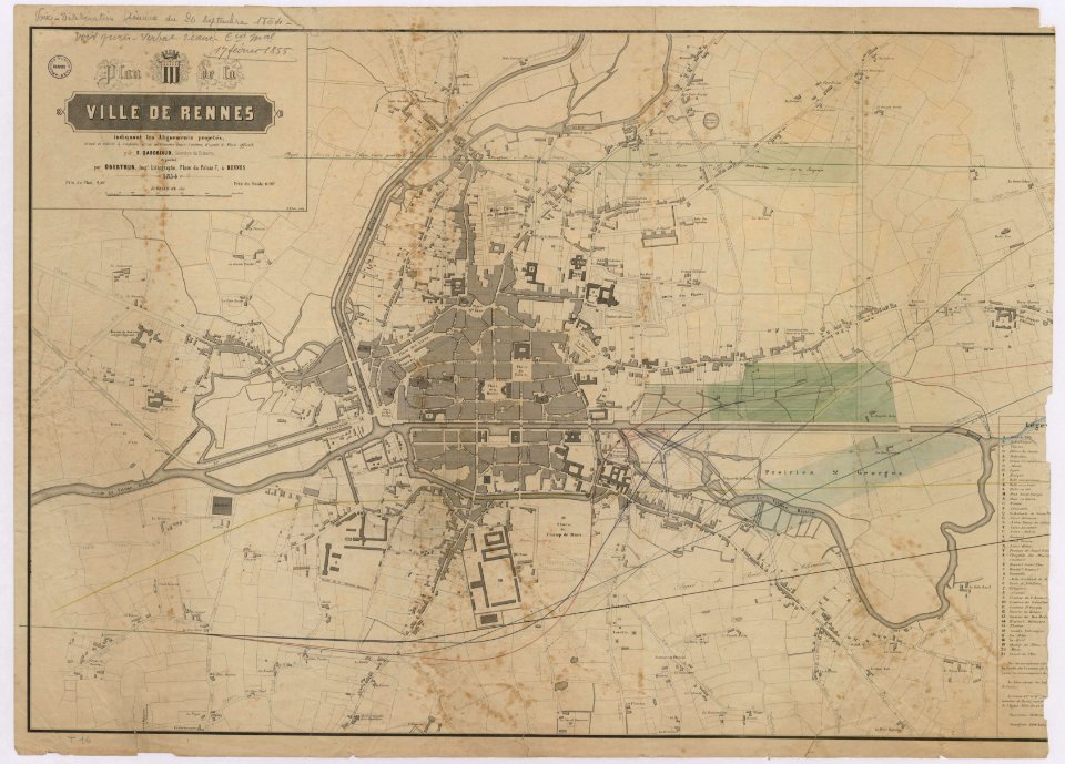
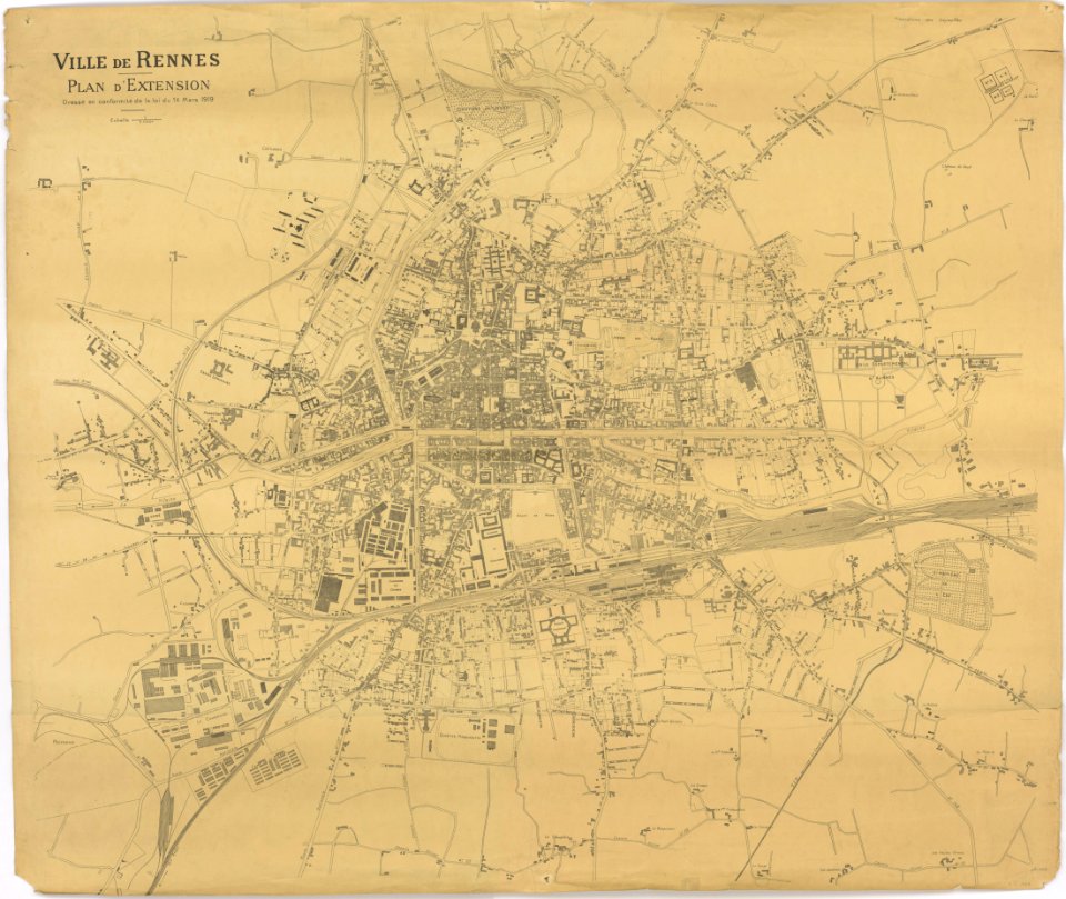
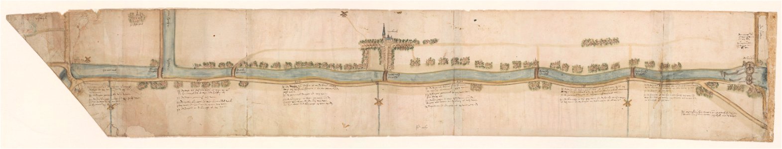
old maps of rennes
atlantis magni tomus quartus (biblioteca comunale di trento)
jan janssonius
maps in the national archives of japan
hyuga province
important cultural property of japan in tokyo
maps in the national archives of japan
maps in the national archives of japan
osumi province
gerard valck
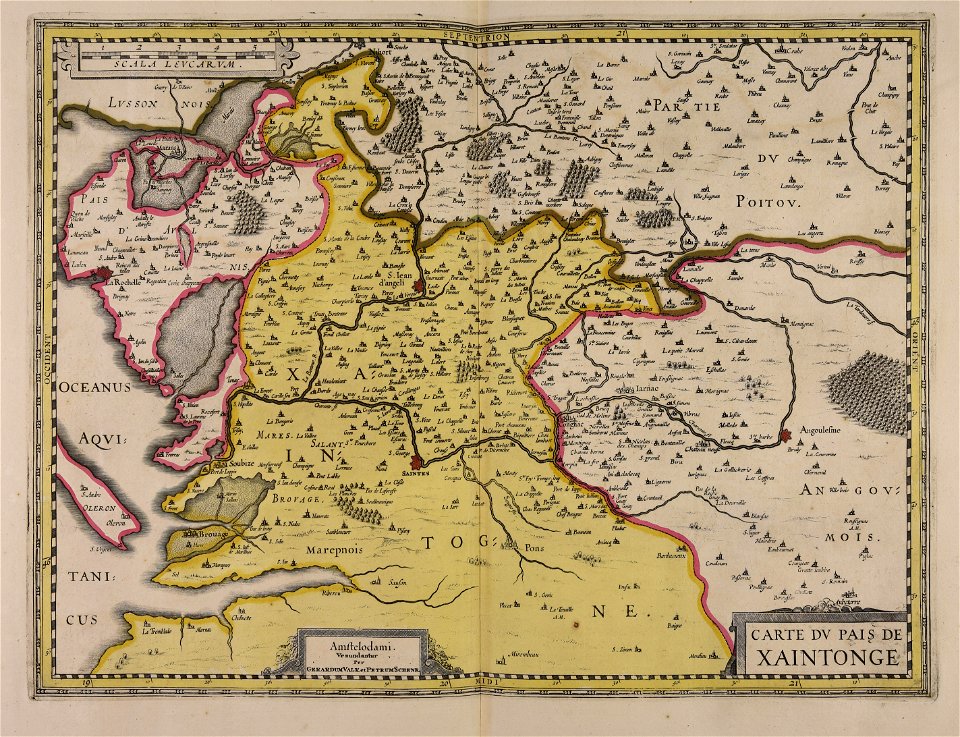
saintonge
bibliothèque municipale de reims
montparnasse
gerard valck
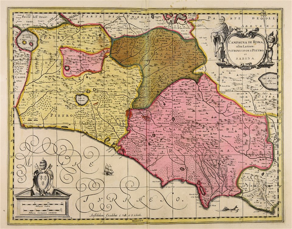
lazio
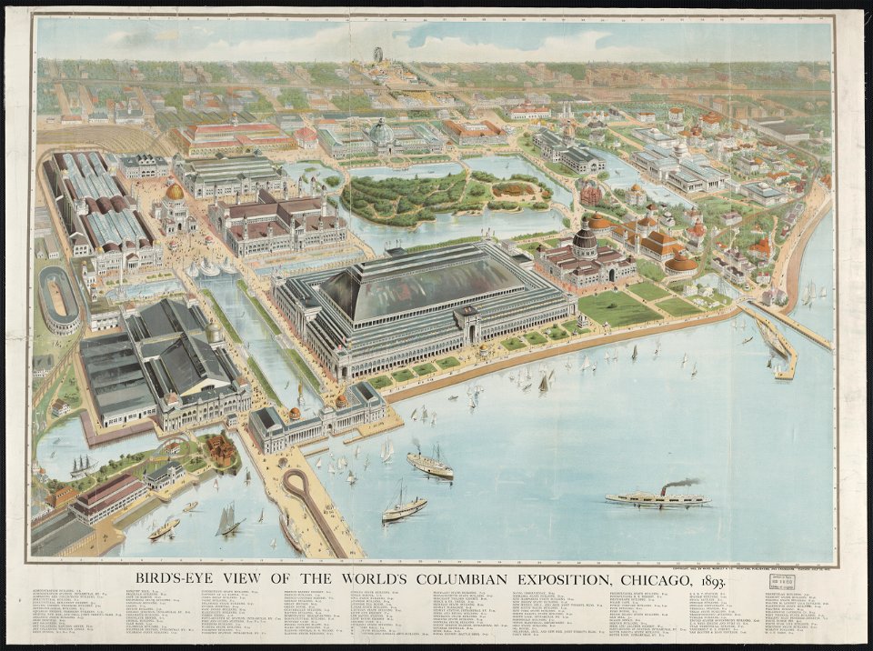
aerial views of the world's columbian exposition
maps of the world's columbian exposition
maps made in the 18th century
gerard valck
trịnh lords
1718)
gerard valck
ciling
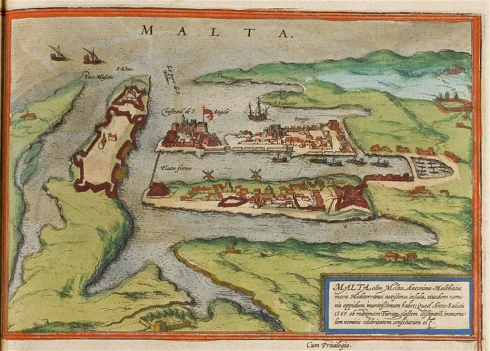
maps of the history of malta
braun & hogenberg
1887 in bretagne
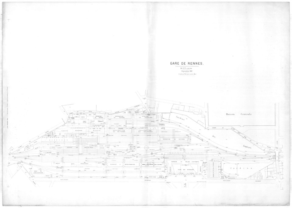
gare de rennes
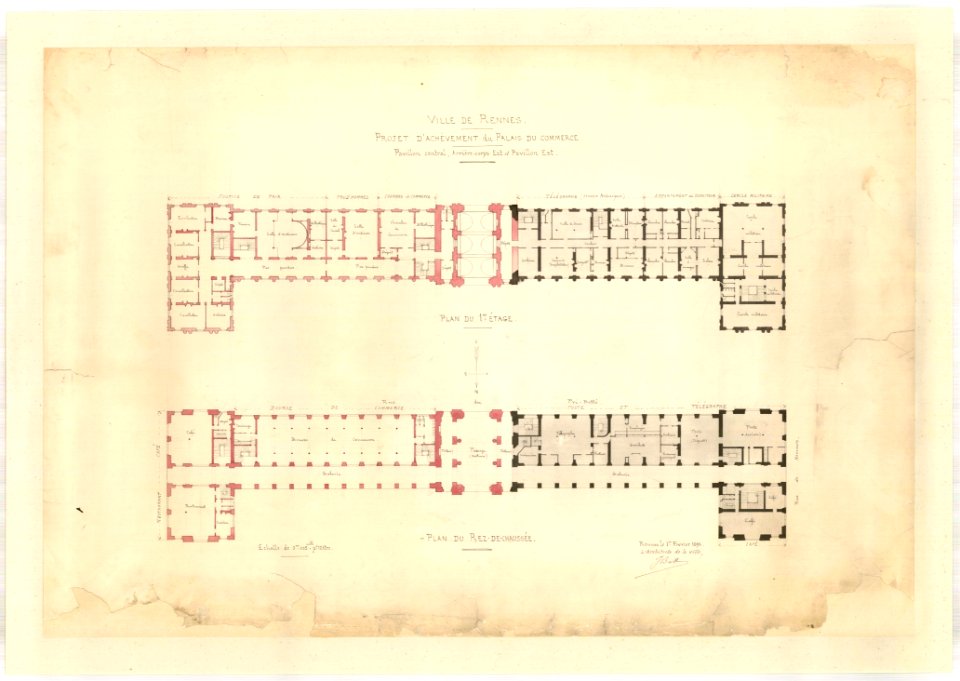
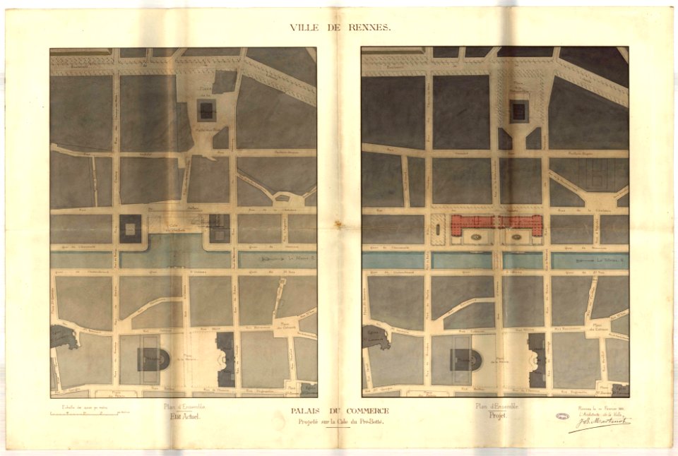
jean-baptiste martenot
rennes in the 1890s
jean-baptiste martenot
rennes in the 1880s
jean-baptiste martenot
1885 maps
old maps of rennes
gare de rennes
tramway de rennes
1928 in bretagne
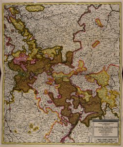
old maps of lower saxony
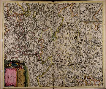
maps with cartouches
maps with cartouches
atlas van der hagen
maps with cartouches
atlas van der hagen
maps with cartouches
atlas van der hagen
atlas van der hagen (volume 3)
atlas van der hagen
historical images of orléans
maps with cartouches
dutch 17th-century prints in the rijksmuseum amsterdam
maps in the rijksmuseum amsterdam
maps made in the 17th century
gerard valck
collections of musée de la compagnie des indes
18th-century maps of indonesia
gerard valck
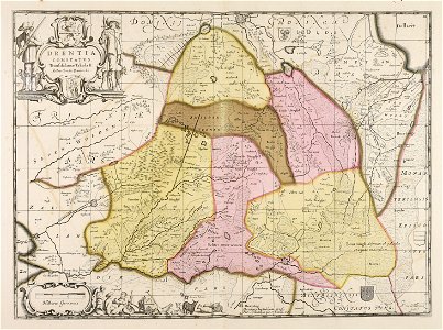
drenthe
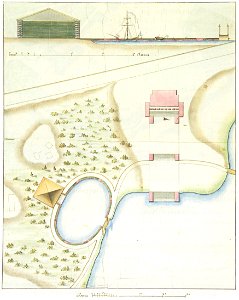
1790s drawings
palace park
university of toronto wenceslas hollar digital collection
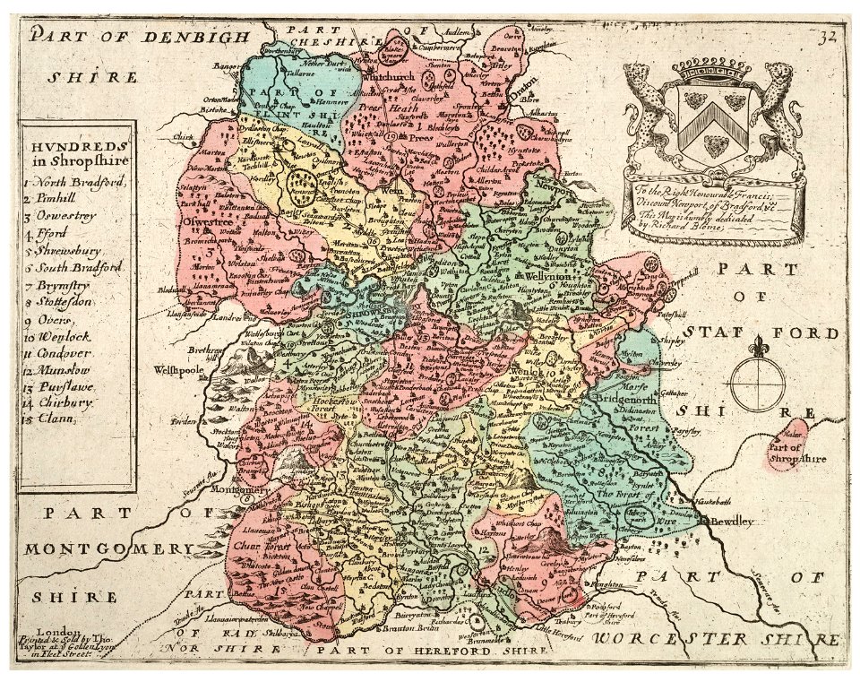
old county maps of shropshire
maps made in the 17th century
gerard valck
university of toronto wenceslas hollar digital collection
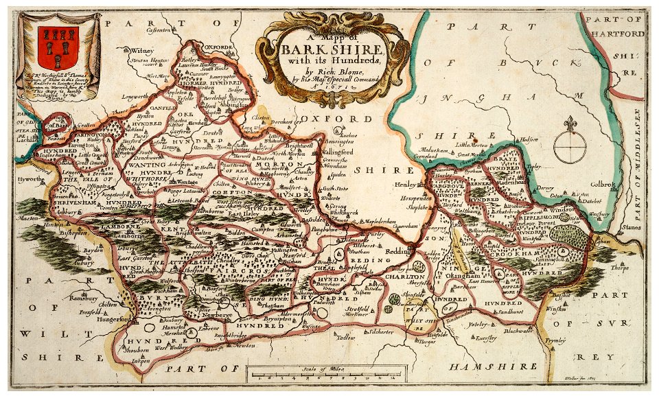
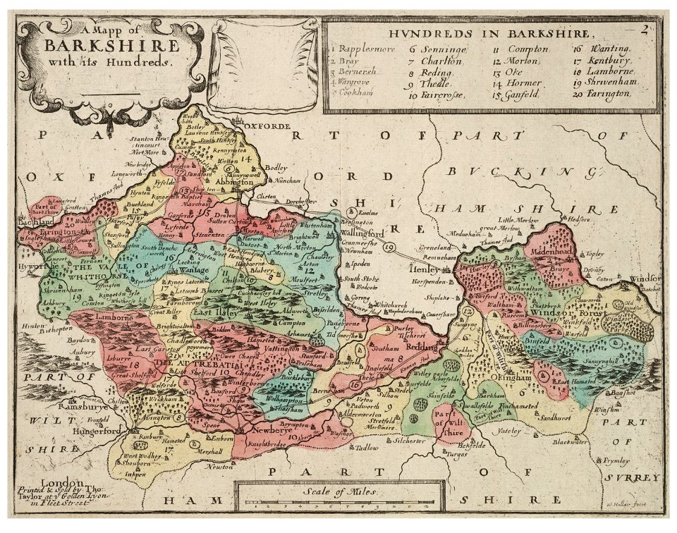
old county maps of berkshire
maps made in the 17th century
cornelis danckerts (ii)
hand-drawn maps and views of world war i battlefields by h.m.
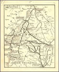
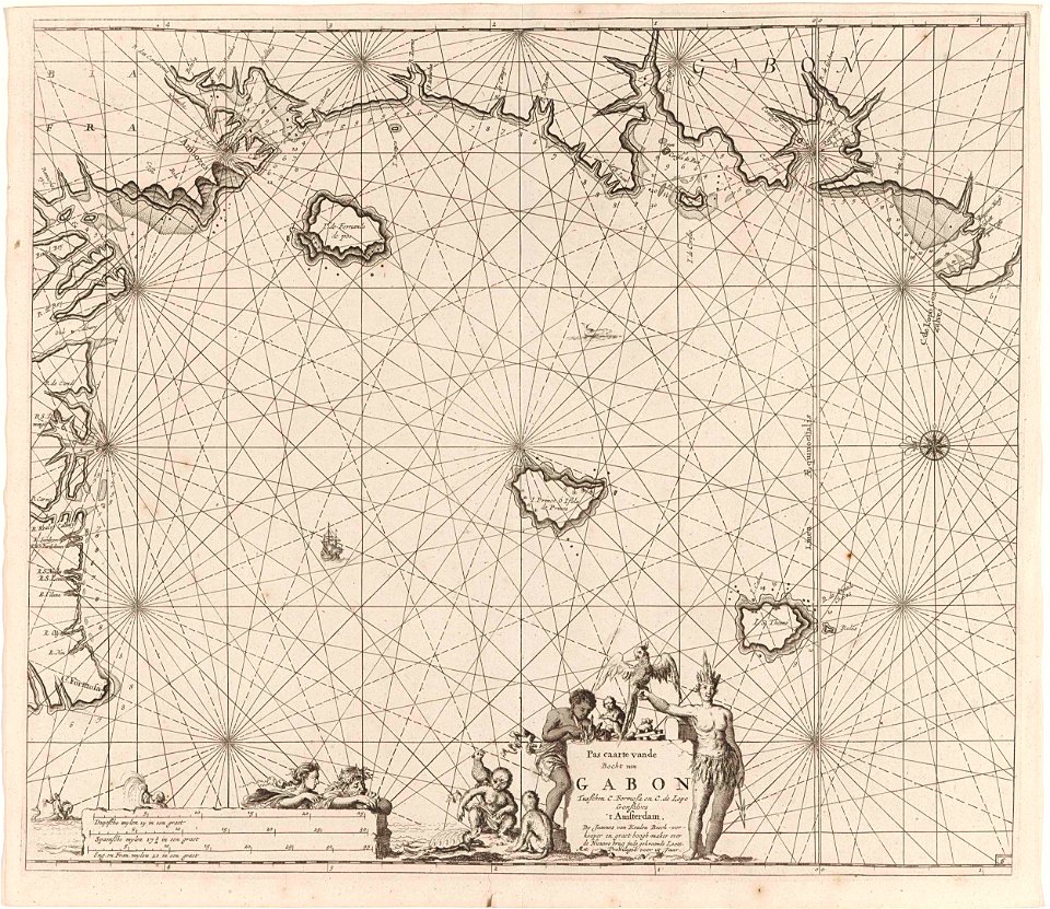
old maps of cameroon
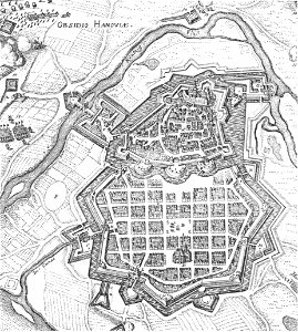
history of hanau
maps of hanau
maps made in the 17th century
old maps of gelderland
gerard valck
sardinia
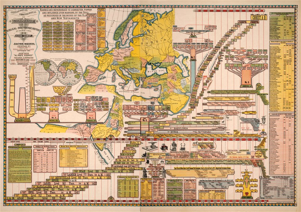
genealogy
shaker
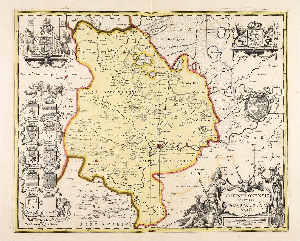
huntingdonshire
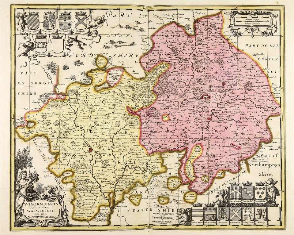
gerard valck
images from the new york public library
francis d'avignon
maps by johannes janssonius
severnaya dvina river
gerard valck
languedoc
prints from manesson travaux de mars at the peace palace library
regular hexagons
octagons (architecture)
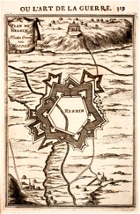
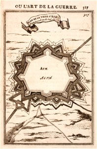
maps of ath city walls
atlantis magni tomus tertius (biblioteca comunale di trento)
maps made in the 17th century
maps made in the 17th century
netherlands
atlantis magni tomus tertius (biblioteca comunale di trento)
maps made in the 17th century
maps made in the 17th century
maps by nicolaes visscher i
gerard valck
touraine
maps made in the 18th century
maps by pieter schenk (i)
atlantis magni tomus tertius (biblioteca comunale di trento)
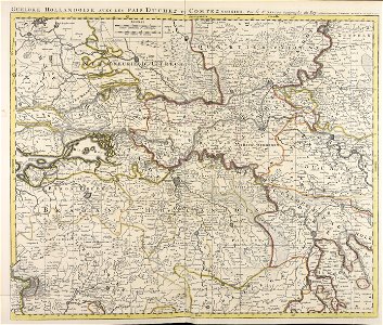
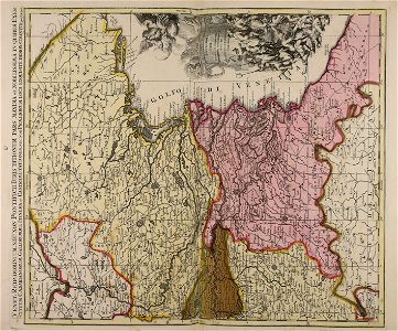
maps of territories in the electoral rhenish circle
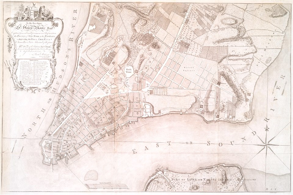
images from the new york public library
new york city
atlantis magni tomus quintus (biblioteca comunale di trento)
maps made in the 18th century
gerard valck
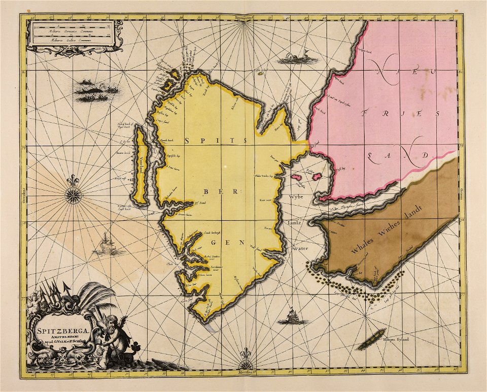
spitsbergen
gerard valck
syria
johann baptist homann
sistema solar
important cultural property of japan in tokyo
maps in the national archives of japan
gerard valck
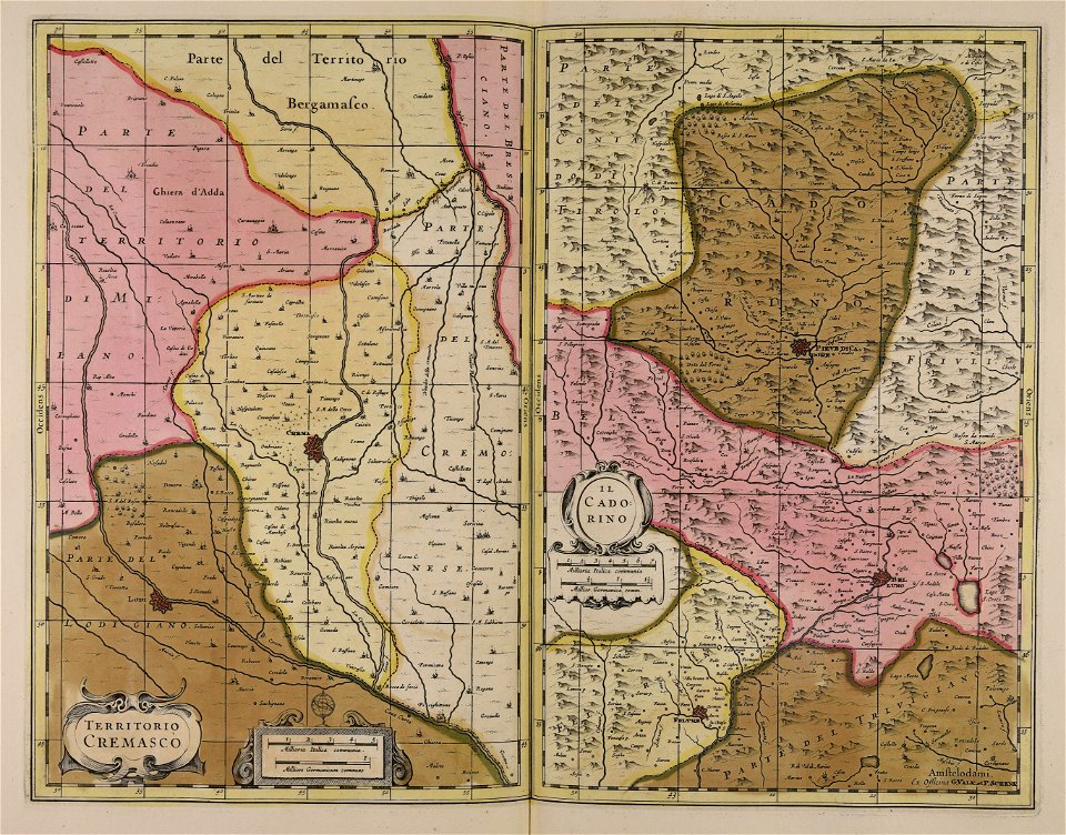
cadore
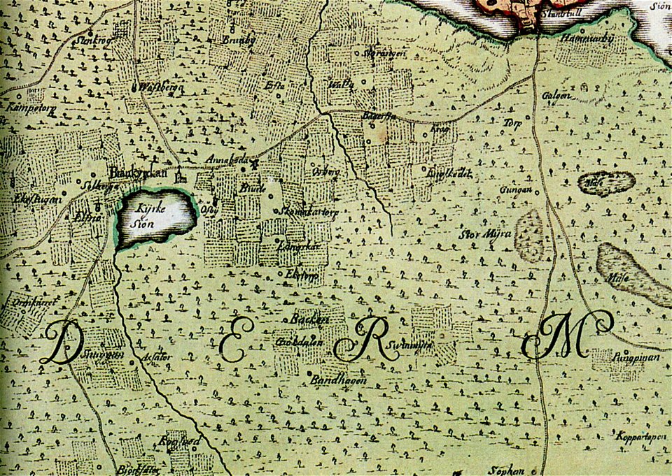
brännkyrka kyrka
älvsjö gård
maps made in the 18th century
maps by pieter schenk (i)
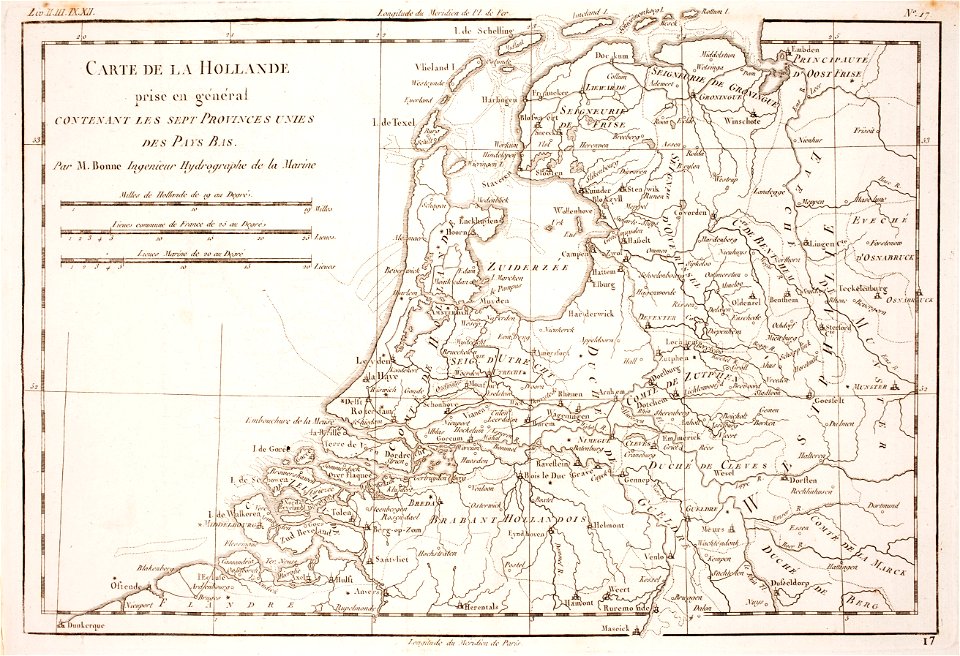
1780 maps of the netherlands
1780 maps of germany
1867 engravings
new york city
maps made in the 17th century
adam olearius
maps made in the 17th century
cornelis danckerts (i)
maps made in the 18th century
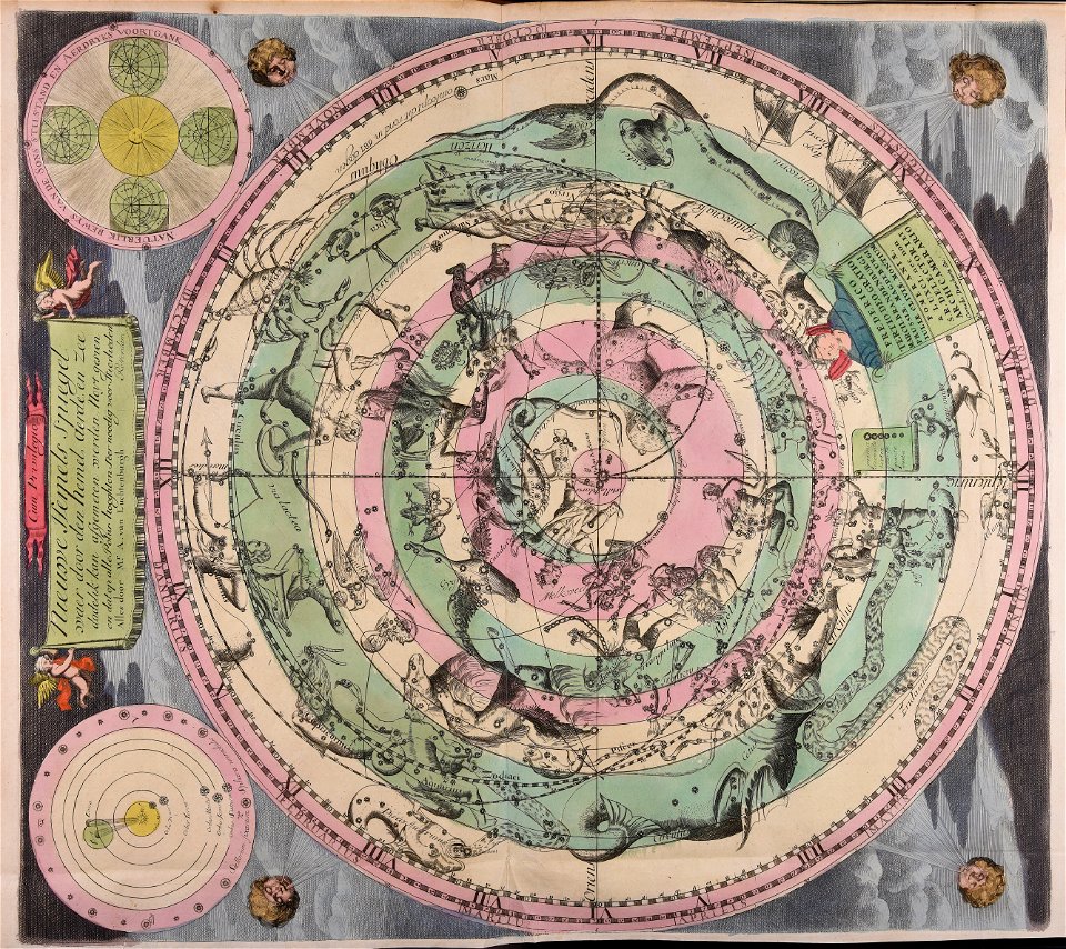
old celestial maps
old maps of rhineland-palatinate
maps made in the 17th century
leidschendam
voorburg
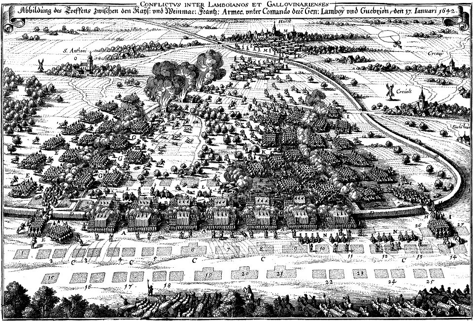
maps of battles of the thirty years' war
engravings of theatrum europaeum
gerard valck
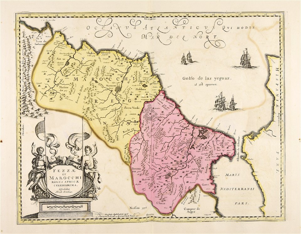
marocco
university of toronto wenceslas hollar digital collection
old county maps of berkshire
dutch 17th-century prints in the rijksmuseum amsterdam
old maps of africa
important cultural property of japan in tokyo
maps in the national archives of japan
important cultural property of japan in tokyo
maps in the national archives of japan
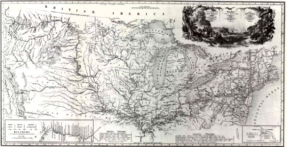
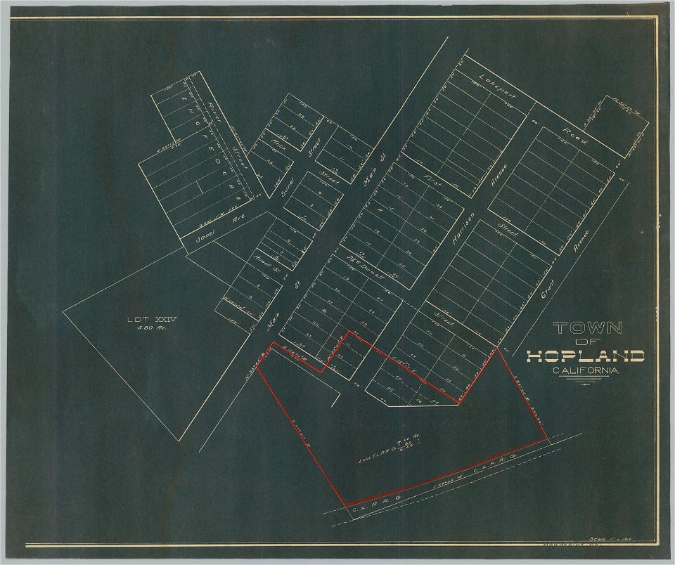
old maps of north america
1843 maps
bancroft library collections
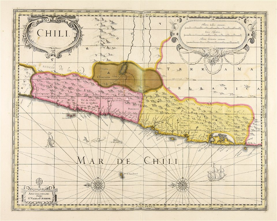
california
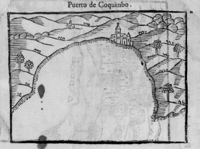
viceroyalty of peru
1646
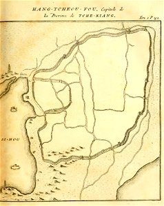
description de la chine
old maps of hangzhou
19th-century maps of stockholm
gamla stockholm 1897
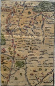
heinrich petri (printer)
eifel
voyage pittoresque de la grèce
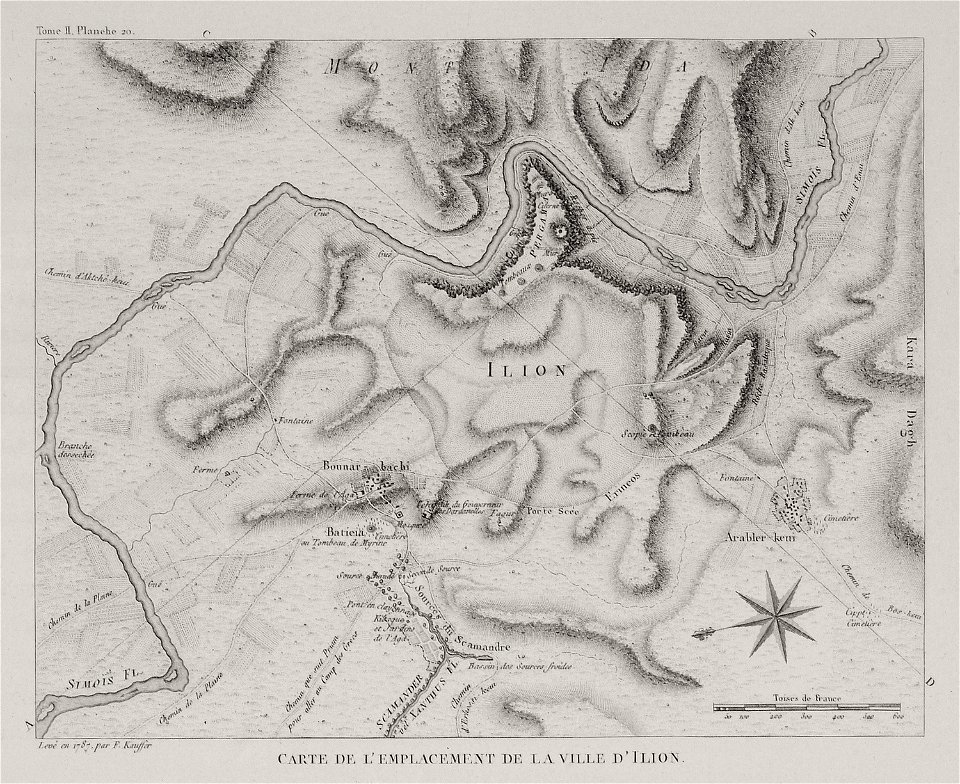
maps of troas
voyage pittoresque de la grèce
maps of troas
voyage pittoresque de la grèce
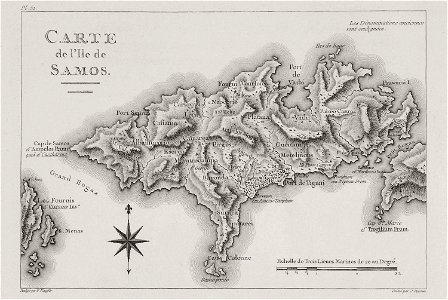
maps of samos
maps by willem and johannes blaeu
copper engraving
maps by willem and johannes blaeu
copper engraving
geographical illustrations by coronelli
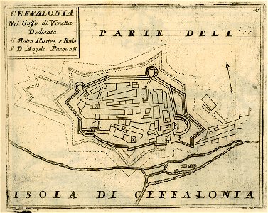
historical maps of kefalonia
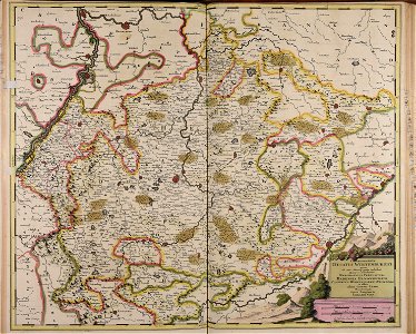
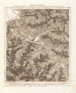
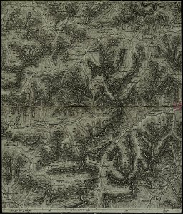
charte von schwaben (bohnenberger)
old maps of vorarlberg
charte von schwaben (bohnenberger)
old maps of switzerland
charte von schwaben (bohnenberger)
old maps of vorarlberg
charte von schwaben (bohnenberger)
old maps of switzerland
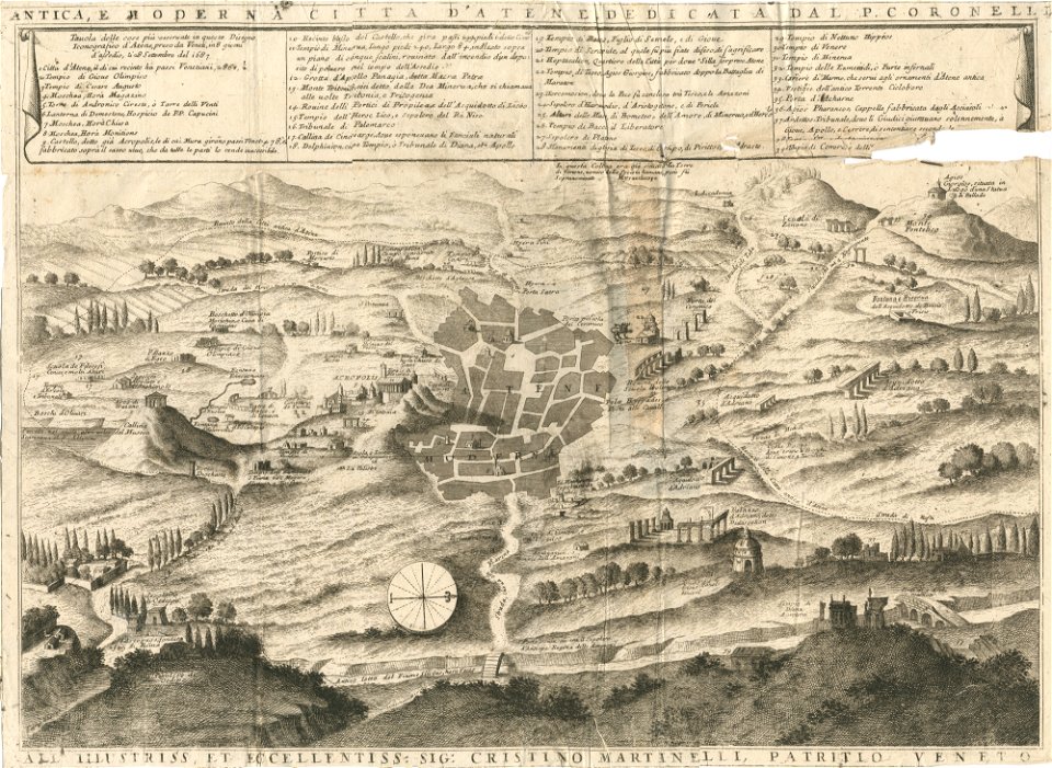
geographical illustrations by coronelli
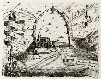
old maps of athens
geographical illustrations by coronelli
old maps of athens
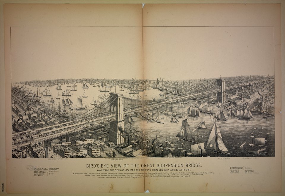
bird's eye view maps of new york city
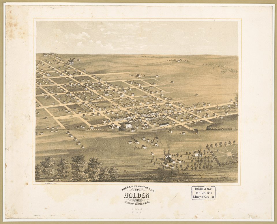
bird's eye view maps of missouri
albert ruger
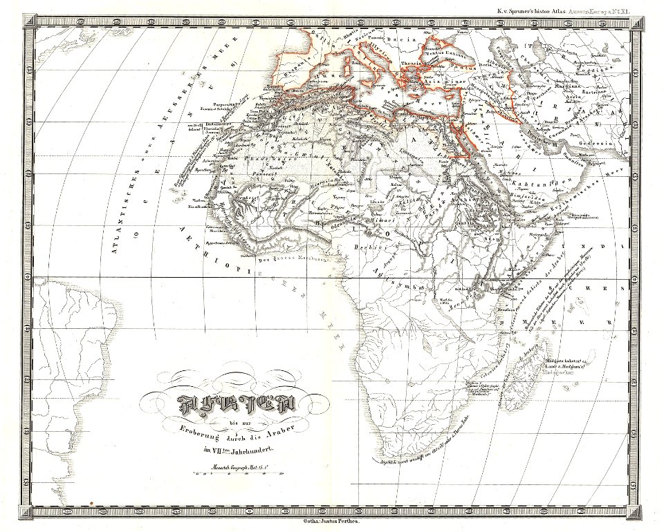
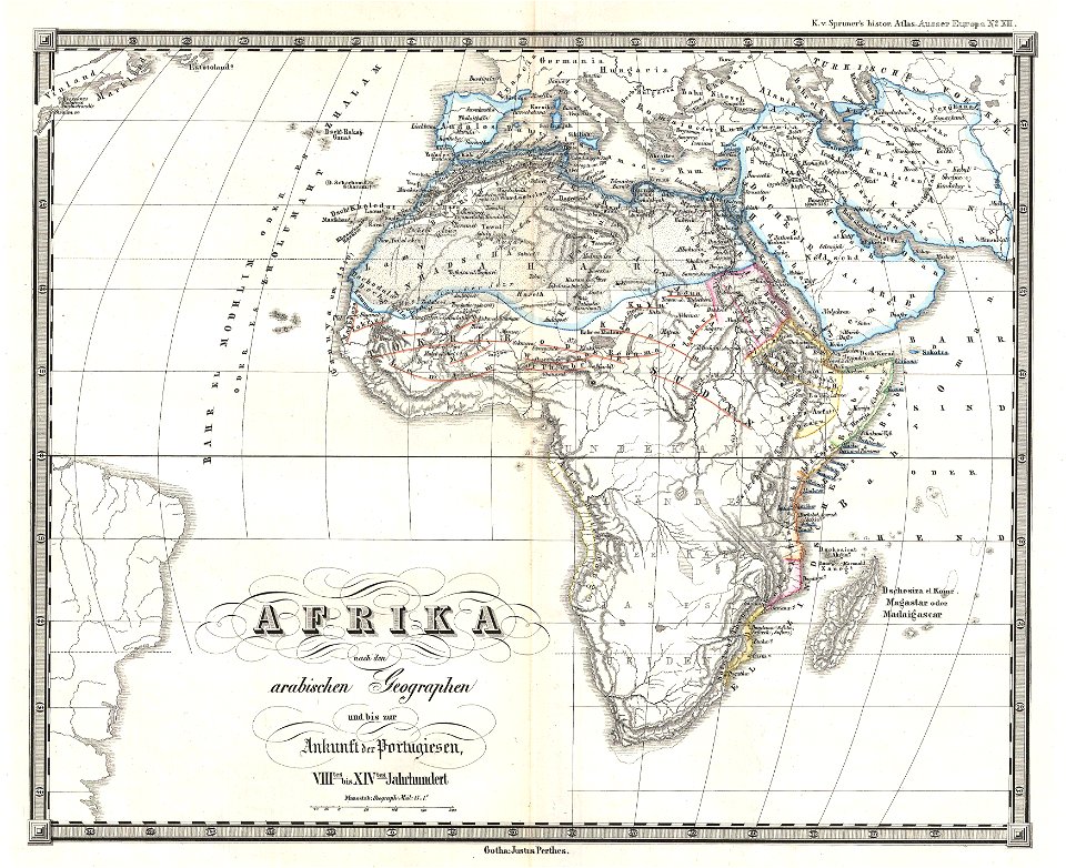
karl spruner von merz
1855 maps of africa
karl spruner von merz
1855 maps of africa
karl spruner von merz
1855 maps of africa
bird's eye view maps of virginia
charles magnus
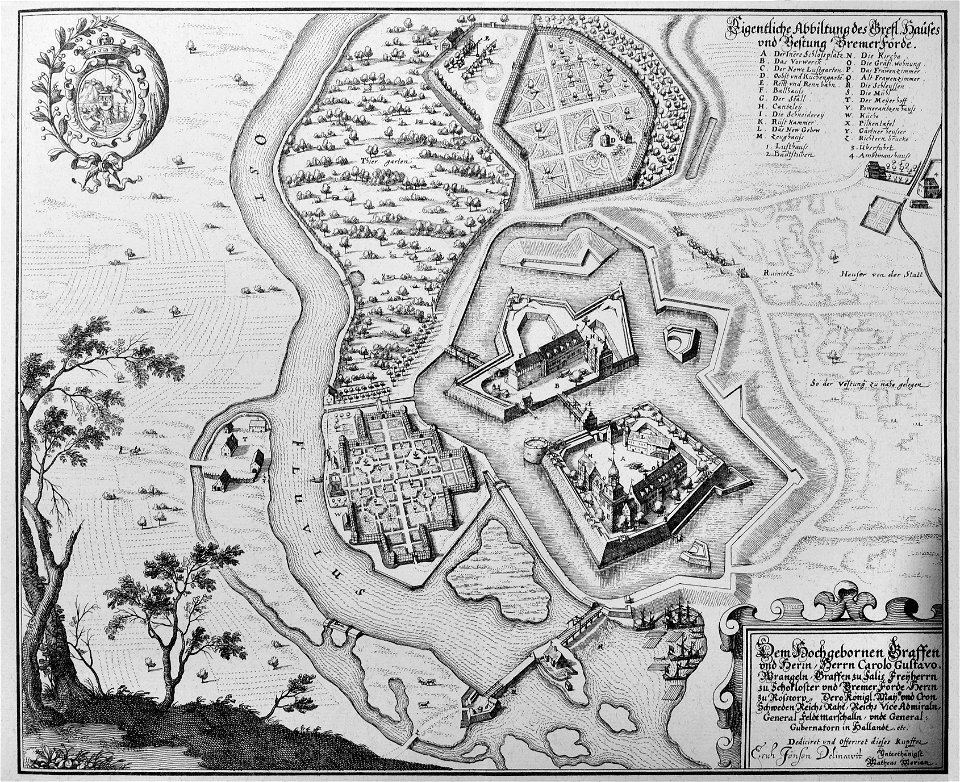
engravings of topographia saxoniae inferioris
maps of bremervörde
geographical illustrations by coronelli
old maps of athens
maps in the library of congress
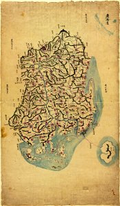
chosŏn chido
8801 - 8900 of 41,226
Next page
/ 413